North Prikamye: Pillars, City and Cliffs
3 days · about 330 km · Perm Krai
Usvinskie Stolby, Stone City, Cherdyn, Polyudov Kamen and Vetlan cliff: three days from the limestone walls of Chusovoy to the panoramas of ancient Great Perm.
Description
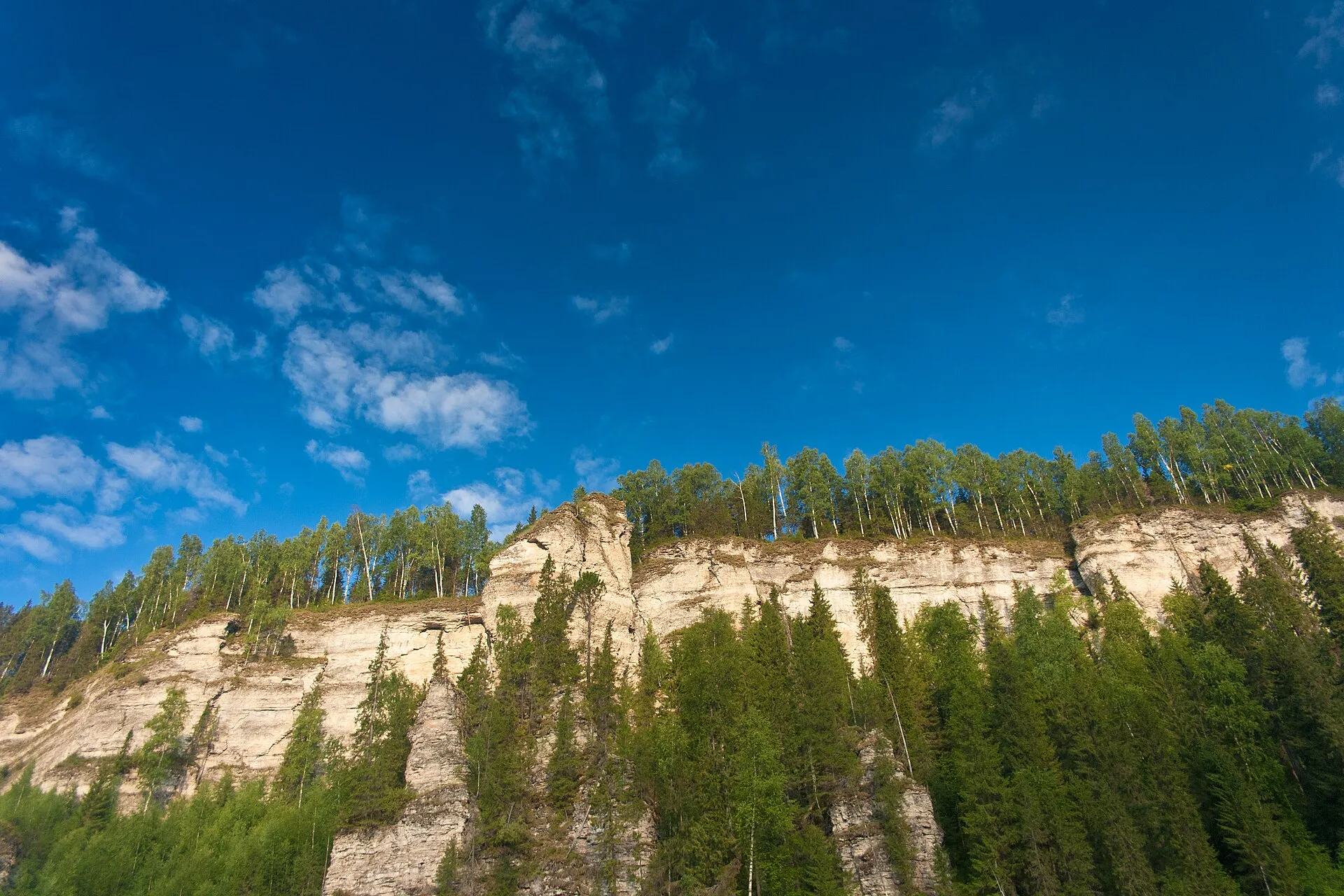
A three-day drive north through Perm Krai — from the rock walls near Chusovoy to the ancient capital of Great Perm and the cliffs over Vishera. About 330 kilometers on roads, and this is the case when distance is part of the meaning: the further north, the older become the layers of history and higher the stone walls. First day — Usvinskie Stolby: five kilometers from the settlement of Usva, the right bank of the river rises as a wall of limestone pillars up to 150 meters high, and separately stands a 70-meter "Devil's Finger". The rocks are a landscape nature monument as part of the "Perm" park, in the Stolbovoy grotto a bone dated to 22,890 years was found, and the familiar panorama to many was shot for the film "The Geographer Drank His Globe Away". Nearby, near Shumikhinsky settlement, is Stone City: thirty hectares of a rock labyrinth with "streets", "yards" and outcrops resembling turtle shells; locals call it both the Devil's Settlement and the Turtles. Second day — transfer north, to Cherdyn, one of the oldest cities of the Urals: in the census books it sounded like Perm Velikaya Cherdyn. In the tenth to twelfth centuries trade went here with Volga Bulgars, Iran, Novgorod and Yugra, the city held the intersection of paths to Pechora and to Siberia, and in the nineteenth century historians identified the surroundings with the Scandinavian Biarmia of sagas. Today it is a quiet city of four and a half thousand residents with the Troitskoye hillfort on the bluff and the Resurrection Cathedral. Finish at the vicinities of Krasnovishersk. Polyudov Kamen, a conical mountain 527 meters high, is visible even from Cherdyn: the ascent on steep forest trails takes a couple of hours, and from the summit opens a panoramic view — Vishera, Kolva, the stone walls of Vetlan. Vetlan itself is almost a kilometer and a half of vertical cliffs on the left bank of the Vishera, rising to 263 meters; below the rock is best read from the water, in rafting, when the walls float overhead. The cliff edges are without fencing both on Polyudov and on Vetlan — the scale here requires caution.
In catalog since November 7, 2026
Route points
- 1Usva Pillars
A wall of limestone pillars up to 150 metres above the Usva, with the free-standing 'Devil's Finger' — the cliff many know from the film 'The Geographer Drank His Globe Away'.
- 2Kamenny Gorod
A labyrinth of rock corridors and niches across thirty hectares of forest near the settlement of Shumikhinsky — a landscape monument locals call both the Devil's Site and the Turtles.
- 3Cherdyn
The oldest town in the Urals on the high bank of the Kolva: capital of Great Perm, a crossroads of routes to Siberia and the Pechora, merchant streets and the Troitskoye site above the river.
- 4Polyudov Kamen
A cone-shaped mountain of 527 metres seven kilometres from Krasnovishersk — the highest point of the Polyudov Ridge and the north's best viewpoint: even the Vetlan cliff is visible from the top.
- 5Vetlan Cliff
A kilometre and a half of sheer bluffs above the Vishera: a cliff rising to 263 metres eight kilometres from Krasnovishersk — the north's chief stone surprise.