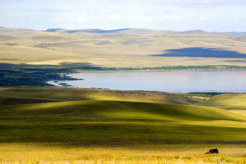
Shira Side: Lakes and Plates
2 days · about 250 km · Republic of Khakassia
Itkul, Shira, Khurtuyakh-Tas, Sunduki and Oglakhty: two days across Shira District — from ornithological shores to kurgan fields and steles of stone people.
Description
A two-day loop across the Shira District of Khakassia — a steppe country of salt lakes and ancient monuments, where stone slabs and mounds stand between water and the horizon. About two hundred and fifty kilometres along the roads; the village of Shira with its museum is the most convenient base, and the best light for steles and kurgans is in the morning. Start at Itkul north of Shira: a shallow salt lake with swampy shores, a refuge for ducks, swans and waders; the territory is protected, the last kilometres are dirt, it is better to approach the water along animal trails. Below is the Shira Lake itself in a basin at about 440 metres altitude: mineral water, whose healing properties have been known since the nineteenth century, sanatoriums and beaches on the western shore, a white salt crust at the edge — a sign of the water composition, not pollution. Further the route goes to the archaeological layer of the district. Khurtuyakh-Tas Valley, "stone people": groups of vertical slabs connected to burial and cult traditions, some fenced — you cannot move the stones and leave inscriptions. Sunduki Mountains are butte hills, from which Shira Lake, Oglakhty and distant cities are visible; the ascent to the ridge takes from half an hour to two hours on amateur trails. The finish is the Oglakhty kurgan field: dozens of mounds stretching along the hills in dry steppes, part explored, signs installed. No ticket is needed, but you cannot destroy the mounds and pitch tents on the monument; do not confuse ancient kurgans with man-made hills near field roads. With that the steppe lets you go — the loop closes on the way back through Shira.
In catalog since November 12, 2026
Route points
- 1Lake Itkul
A shallow saline lake north of Shira — a quiet birdwatching site in the steppe zone.
- 2Lake Shira
A saline lake with a west-shore spa zone — a destination in its own right, not an Abakan city walk.
- 3Khurtuyakh Tas Valley
A valley of stone stelae near Abaza — an archaeological landscape of vertical slabs.
- 4Sunduki Mountains
Rocky hills between Sorsk and Lake Shira — panoramas over steppe and kurgan fields.
- 5Oglakhty Kurgan Field
A kurgan field west of Lake Shira — a major archaeological landscape between Shira and Sayanogorsk.