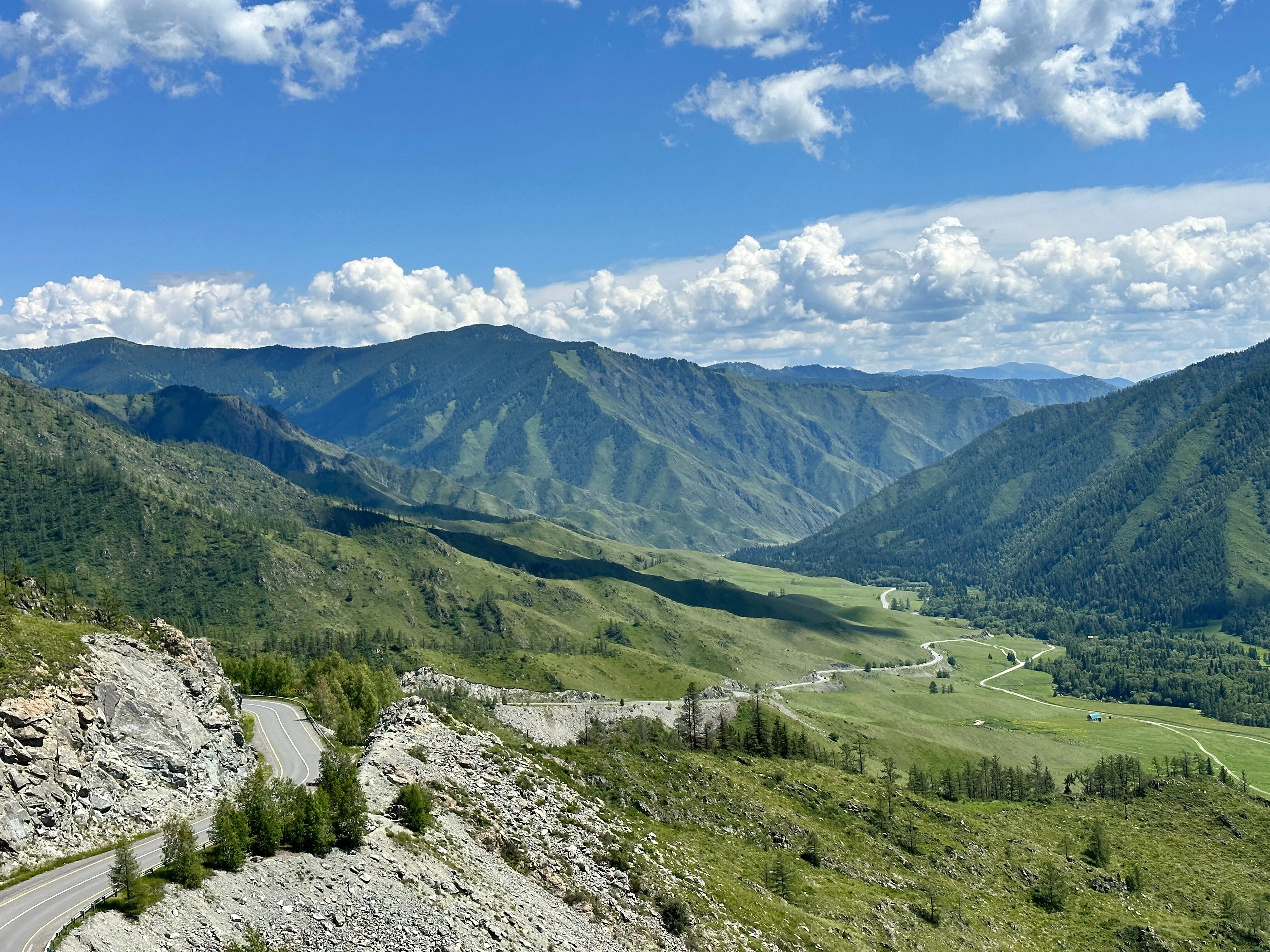
The Chuya Side: Passes and Glaciers
2 days · about 280 km · Altai Republic
Chike-Taman, the Krasnye Vorota gorge, the Aktru camps and the Kurayskaya steppe: two days along the high-mountain Chuya Highway — from the "camel's neck" to glacier moraines.
Description
A two-day run along the high-mountain part of the Chuya Highway — the great road of the Altai Republic, which between Biysk and Mongolia shows exactly what people come here for: switchback passes, red cliffs of a gorge and glacial valleys. About two hundred and eighty kilometres by road; the last kilometres to Aktru are passable only by high-clearance vehicles. Start at the Chike-Taman pass, the "camel's neck": the road climbs in switchbacks, and from the top opens a wide view of the river and the mountains; equipped viewing platforms sit next to truck traffic — a half-hour stop, no blind overtaking on the bends. Next are the Krasnye Vorota, the "Red Gates": the Chuya forces its way between reddish cliffs, and the highway runs along a ledge and through a tunnel; the rock colour is most vivid at sunset, and after heavy rain the section is watched for rockfall. The middle of the route is the Aktru valley: at the foot of the camp, at about two thousand metres, stand the cabins and tent fields of climbers and trekkers. From here you go out to the glacier moraines and practice crags; electricity and signal are limited, and snow is possible even in summer. This is not a resort but working infrastructure — booking a spot in July and August is worth doing in advance. The finale is the Kurayskaya steppe: a vast high-mountain plateau of stiff grass and rare steppe lakes, with the wall of the Severo-Chuysky Range rising on its southern side. The sun here is harsh and shade almost absent; the weather vulnerability is high — snow and hail are possible in any month. The steppe returns the route to the highway — and the line closes with the same horizons it began with.
In catalog since November 12, 2026
Route points
- 1Chike-Taman Pass
A high pass on the Chuysky tract with tight switchbacks and valley views — a road highlight, not a resort.
- 2Krasnye Vorota Gorge
A narrow reddish gorge on the Chuya section of the Chuysky tract — the road runs between vertical cliffs.
- 3Aktru Camp Area
Field bases at the head of the Aktru valley — start for short and long mountain routes.
- 4Kurai Steppe
High steppe near Kurai village — open plains and views of the North Chuy Range north of the tract.