To Mongun-Taiga: Silver Mountain
3–4 days · about 160 km · Republic of Tyva
Kyzyl-Khaya, Hindiktig-Khol, Mongun-Taiga and Tsagan-Shibetu ridge: high-altitude expedition to the highest point of Tyva — through a glacial lake and a border watershed.
Description
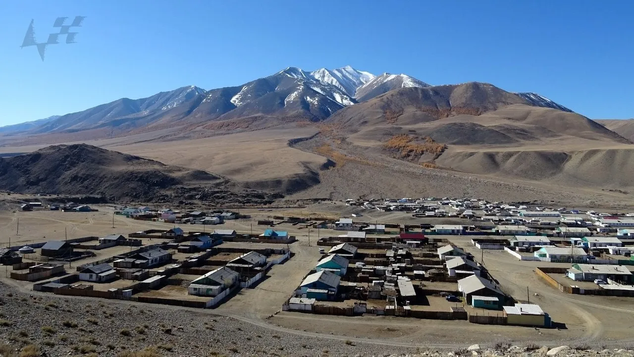
High-altitude expedition in south-western Tyva, to the Mongun-Taiga district — the most remote corner of the republic, where a village stands at two thousand metres, a lake is dammed by an ancient glacier, and above all rises Silver Mountain. About one hundred and sixty kilometres between points along the roads, but this is a three–four day trip with acclimatization; only July and August, an off-road vehicle and a fuel reserve for several days. Start at the village of Kyzyl-Khaya on the Mogen-Buren River at the foot of the massif: a practical base with limited shops and communication, a living high-altitude settlement where hospitality is better asked for in advance through local contacts. Two thousand metres is already a reason to give the body a day for acclimatization; in winter roads depend on snow, in summer — on fords in the tributaries. Higher is Hindiktig-Khol, the "lake with a navel": a fresh mirror of about sixty-six square kilometres at an altitude of 2305 metres, moraine-dammed, with two islands in the centre and water clarity up to twenty metres. In the water is grayling, on the shores are Altai marmots; the lake is commercial, a local fishing brigade works. From the lake flows Mogen-Buren, flowing into the endorheic basin of the Great Lakes. Above all is Mongun-Taiga, "Silver Mountain": a peak of 3976 metres, the highest point of Tyva and all Eastern Siberia, covered with glaciers. For the Tuvan people the mountain is considered sacred, and climbing has traditionally been limited — first ascents were recorded only from 1946; today this is an expedition goal, not a weekend hike. Since 2000 a cluster area of the biosphere reserve "Ubsunur Hollow" of about sixteen thousand hectares has been operating on the massif — for argali and snow leopard; yaks graze on the pastures at the foot. The end of the line is the Tsagan-Shibetu ridge, "white fence": one hundred and thirty kilometres of mountains along the border with Mongolia up to 3577 metres, a watershed between the Yenisei basin and the endorheic Uureg Nuur. Border proximity requires documents and a regime; there is no service on the ridge — only water, fuel and the horizon.
In catalog since November 12, 2026
Route points
- 1Kyzyl-Khaya Village
A high-altitude village by Mongun-Taiga on the Mogen-Buren River — ~2,000 m.
- 2Hindiktig-Khol Lake
The “lake with a navel” below Mongun-Taiga — a glacial sheet at 2,305 m.
- 3Mongun-Taiga Peak
Tuva and Eastern Siberia’s highest summit — 3,976 m, sacred and glaciated.
- 4Tsagan-Shibetu Ridge
A 130 km ridge between Mongun-Taiga and Tannu-Ola — up to 3,577 m.